SCIENCES AND ENGINEERING

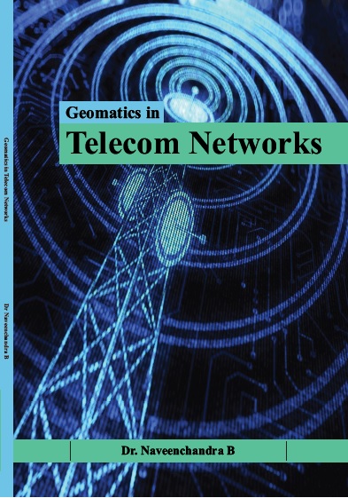
Geomatics In Telecom Networks
by Dr. Naveenchandra B
ISBN Number : 978 - 93 - 91478 - 57 - 5
Authors Details
| Author Name | Image | About Author |
|---|---|---|
| Dr. Naveenchandra B |  |
Dr B.Naveenchandra is a Director of Bellare GIS Consultancy Private Limited which is
Remote Sensing and GIS solution providing Start-up Company incubated at NITK STEP
Surathkal, Karnataka State. He got his M.S. Degree (equivalent to M. Tech) in Geo-
Informatics from Mangalore University during 2002. He got his Ph.D. Degree for his
Doctoral Thesis titled “Application of Remote Sensing and GIS technology in
Telecommunication Systems” during 2012. He has published more than 27 research papers
in the International and National journals. He has presented number of research papers in
various National and International Seminars/Conferences. He is a member of Indian Society
of Geomatics, Ahmadabad. Dr B. Naveenchandra had been involved in the commissioning
of Electronic exchanges, Broadband, GSM systems and leased circuits to the BSNL Clients
while working in BSNL in various Engineering cadre and taken VRS in 2018 as AGM. He
has undergone various technical trainings in telecom, GIS and IT sector. He has worked at
BSNL at various capacities, and he has gained knowledge in the eld of Geo-Informatics. He
has developed project entitled “Automated Mapping and Facility Management in
Telecommunication by GIS” for his M.S. (M. Tech) Project. He was awarded the National
trophy of “Geospatial Excellence in Telecommunication” at India Geospatial Forum-2012
held at New Delhi. The award was honoured by the Geospatial Media and Communication,
New Delhi in collaboration with Govt. of India for the best research project of the year 2012
entitled “Geospatial analysis for the deployment of rural wireless broadband services using
Geo-Information Technology”. He was awarded Sanchar Sarathi by the Department of
Telecommunication in 1999 for his valuable contribution of telecom services in rural area
and awarded best Social worker by the Rotary/Rotaract clubs in the same year. He has vast
knowledge in the eld of geospatial technology and is capable of handling IGiS, ERDAS
IMAGINE, ARC View, Map Info, AutoCAD, Super GIS and many more software packages.
He has guided 7 M.Sc. Marine Geology students of Mangalore University for their
dissertation work and trained number of post graduate students in remote sensing and allied
elds. |
Book Description
Geo-Informatics is dened as the science and technology dealing with the structure and character of spatial data, its capture, its classication, its storage, processing, analysis and dissemination, including the infrastructure necessary to secure optimal use of this information. These data are obtained from many sources including earth orbiting satellites, air and space borne sensors and ground-based instruments. It is processed and manipulated with state - of - the - art information technology using computer software and hardware. It has applications in all disciplines, which depend on spatial data, including geology, engineering, agriculture, forestry, navigation, environmental studies, oceanography, land development and planning of natural resources. Thus, Geoinformatics has been an important tool in man's quest for knowledge, a motivating force for explorative spirit and an essential means for his commercial adventure. The growing demand for economic well-being and for better quality of life has put stress on the management of resources. Therefore, the resource management has to be supported by an effective decision support system, which in turn requires timely and high quality spatial information.


